Case Study
Douglas Harbor Dredging: Alaska
By Eugene C. Revelas, Senior Science Advisor
OUR CHALLENGE
In Douglas Harbor, Alaska, a planned harbor renovation required dredging and placement of approximately 30,000 cubic yards of mercury-contaminated sediment in a disposal site at nearby Gastineau Channel. To document sediment conditions, a baseline assessment and post-dredge assessment were required. Long-term monitoring of an engineered sand cap was also needed to ensure continued safety.
OUR APPROACH
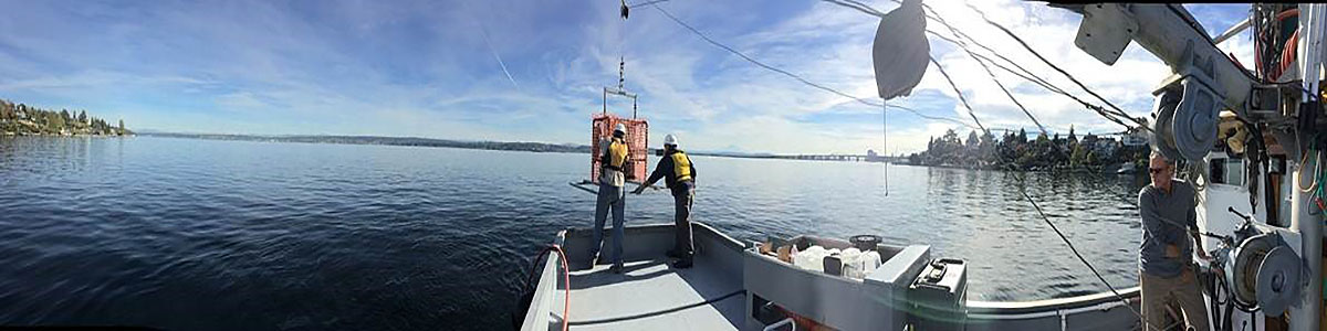
Prior to and following dredging, we used Integral’s sediment profile imaging and plan view (SPI–PV) camera system to document and map benthic conditions in the harbor and nearby disposal site. We collected and analyzed approximately 1,000 images during four SPI–PV site surveys. As part of monitoring, we analyzed water quality and sediment chemistry to confirm compliance.
OUR IMPACT
Use of SPI–PV technology yielded high-resolution, in situ digital images to document pre- and post-dredge conditions, and condition of the engineered cap, efficiently and cost‑effectively. We provided our client with accurate mapping of the areal extent and thickness of disposed dredged material and sand cap sediments, as well as ecological conditions at both the dredge and disposal sites.
Published
May 24, 2019

Key Contact
Mr. Gene Revelas, senior science advisor at Integral, is a leading sediment scientist with 40 years of experience working on... Full bio