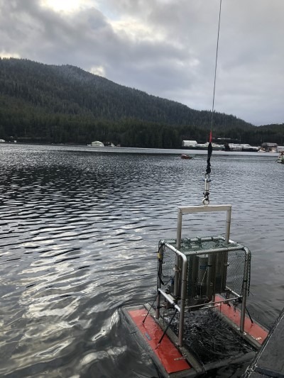
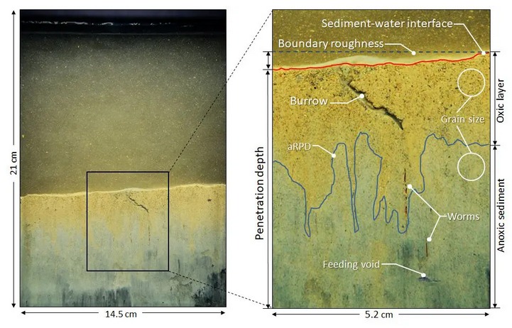
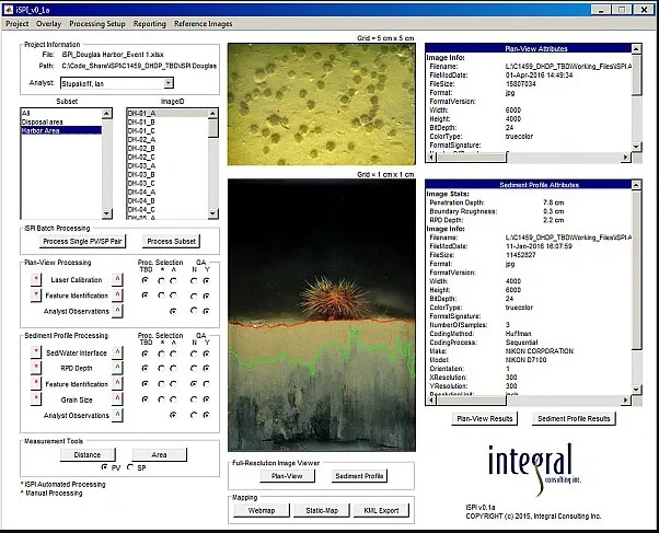
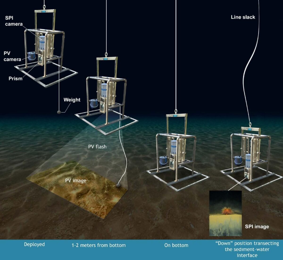
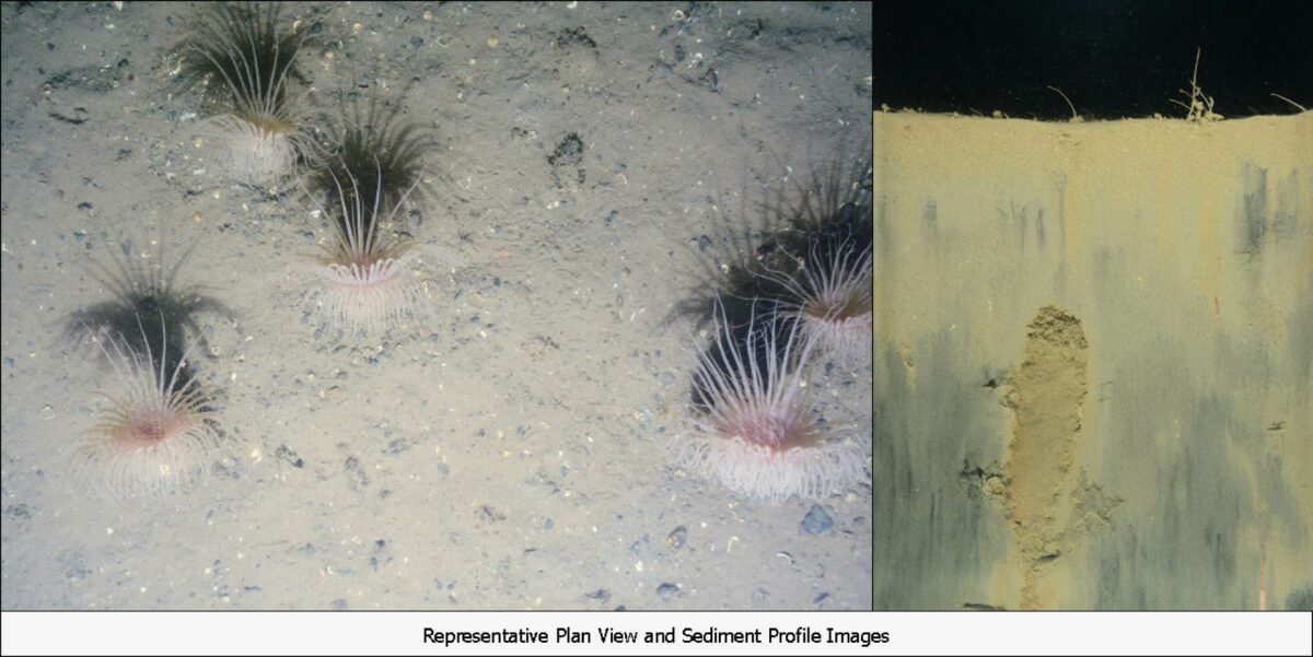
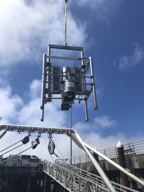
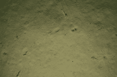
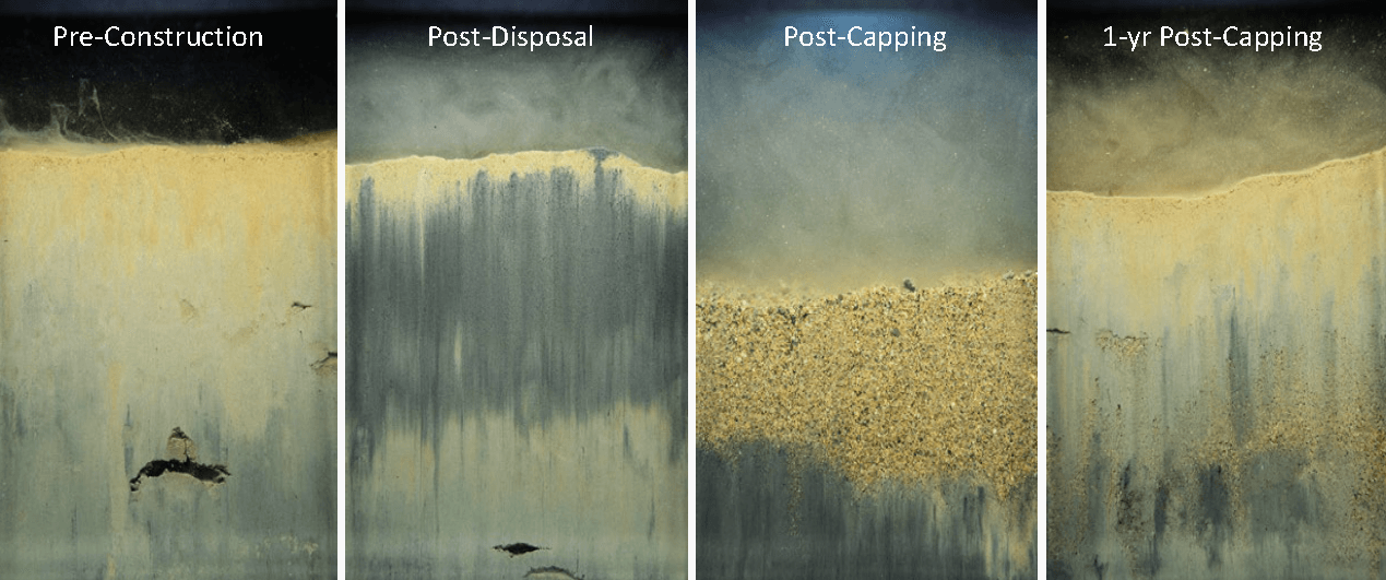
SPI–PV can address your seabed monitoring and mapping needs. Applications include sediment remediation monitoring, ocean disposal and contaminated site monitoring, seabed benthic habitat mapping, offshore renewable energy baseline environmental studies, offshore oil and gas environmental assessments, and remedial investigations.
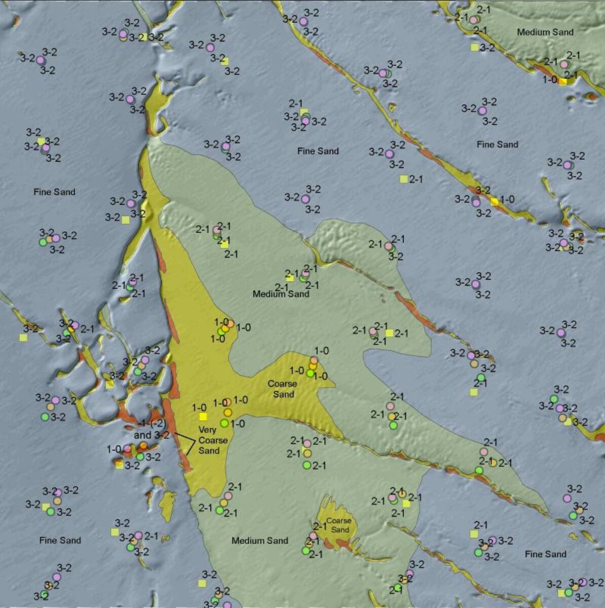
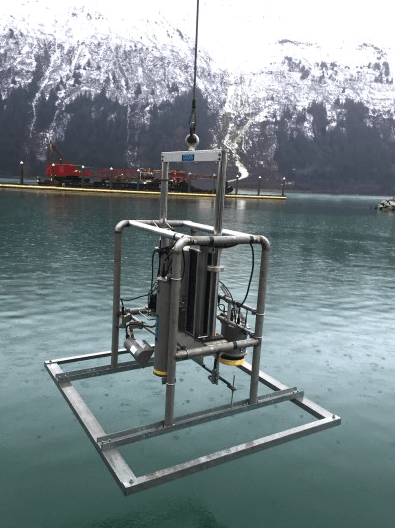
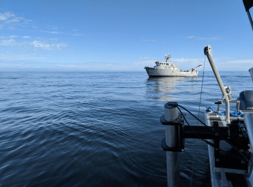
Explore some our previous projects below.