
Poster
Use of SPI Technology to Quantitatively Evaluate the Effects of Carp Removal on Surface Sediment Conditions in a Michigan Lake
By Eugene C. Revelas, Senior Science Advisor
Stefan Wodzicki, Senior Scientist
Grace Chang, Ph.D., Senior Science Advisor, Director of Research and Development
Additional contributions by Louise Venne (louise.venne@woodplc.com), Phil Pauquette (phil.pauquette@woodplc.com), and Cynthia Draper (cynthia.draper@woodplc.com) (Wood, Kennesaw, GA, USA)
Poster presented at Battelle Sediments Conference, Jan 9-12, 2023, Austin, Texas
Background/Objectives
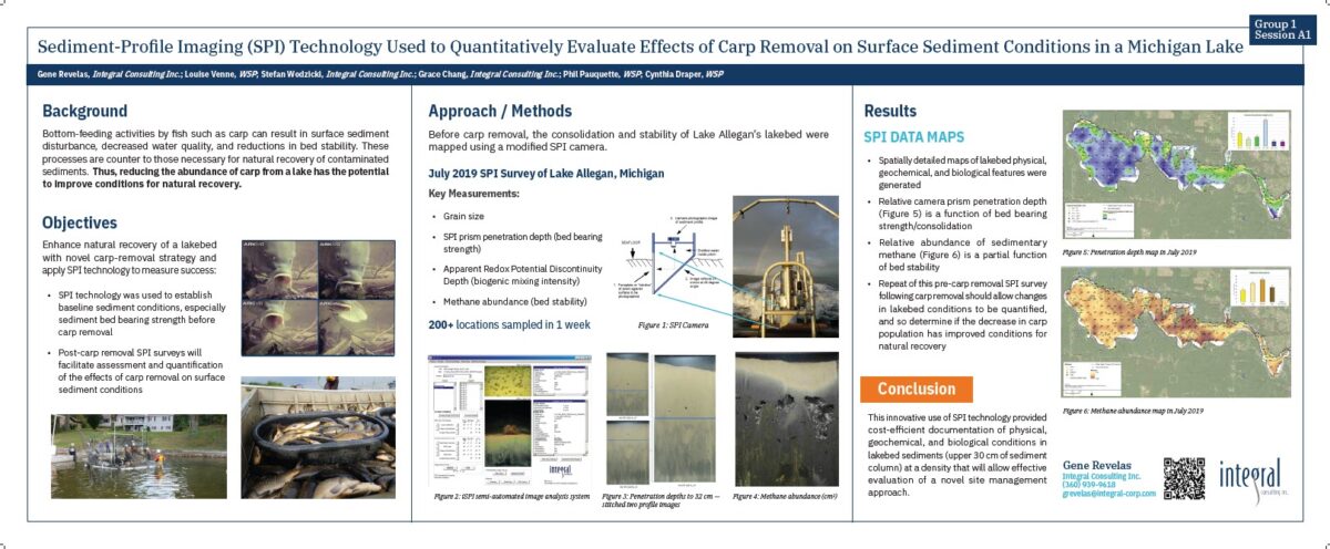
Bottom-feeding activities by fish such as carp, which are known bioturbators, can result in surface sediment disturbance, decreased water quality, and reductions in bed stability. These processes are counter to those necessary for natural recovery of contaminated sediments. Therefore, carp management as a method to decrease the carp population has the potential to be a novel strategy to enhance natural recovery. A baseline sediment profile imaging (SPI) survey was conducted in Lake Allegan, Michigan, with the goal of documenting physical, geochemical, and biological conditions in lakebed sediments (0 to 30 cm). SPI technology is unique in its ability to document in situ surface sediment conditions by obtaining high-resolution images of the relatively undisturbed sediment column. These data will serve as the pre-removal (baseline) data for an analysis of the impact of the carp management effort.
Approach/Activities
The Lake Allegan SPI survey was conducted in the fall of 2019. A total of 209 stations were occupied over a 5-mile portion of the lake to provide high spatial resolution information on lakebed conditions. Key measured and mapped SPI parameters included grain size and sediment layering, prism penetration depth (a measure of bed consolidation), redox boundary depth (a measure of biogenic mixing intensity), and methane bubble abundance (a measure of the extent of sedimentary methanogenesis). Large portions of the lakebed consist of unconsolidated mud that was easily penetrated by the SPI camera prism. The camera was set up to take two pictures as it penetrated the sediment column; these two exposures were stitched together to create a composite SPI image, up to 32 cm in height. This innovative SPI image collection and processing method resulted in images that were 11 cm deeper than the SPI camera optical window of 21 cm to allow evaluation of sediment in the top 30+ cm.
Results/Lessons Learned
The Lake Allegan SPI survey provided detailed information on bedded sediment characteristics across the entire lake. Results show that deep SPI penetration (>21 cm; i.e., lower bearing strength) was evident in lakebed areas dominated by silts, generally located in the deeper portions of the lake. Relatively shallow prism penetration was obtained in sandy areas, as is typical. The camera configuration was successful in collecting SPI images to 32 cm below the mudline, 50 percent deeper than a standard SPI survey. These data provide a representative assessment of lakebed conditions when carp abundance in the lake was high. Following a successful carp management program, a subsequent SPI survey would allow a comparison of surface sediment disturbance, lakebed consolidation/stability, and geochemical conditions relative to the abundance of carp.