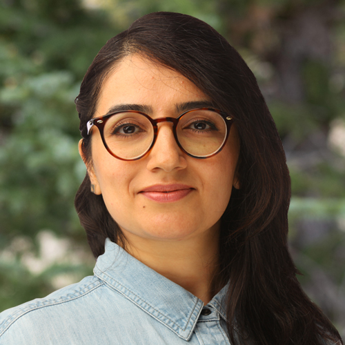
Negin Ghoseiri, E.I.T. Senior Data / Solution Engineer
Ms. Negin Ghoseiri is a senior data and solution engineer with 8 years of experience in processing, managing, and presenting environmental and geospatial data and leading geospatial and remote sensing data production, including workflow management, technical support, and process improvement. Ms. Ghoseiri has a diverse background in environmental data analysis, record research, geospatial data production, technical map production, and data visualization. Ms. Ghoseiri regularly uses the ArcGIS suite to generate complex technical maps and analyze spatial data. In addition, she has various skill levels in using data manipulation and analytical software such as QGIS, MicroStation, AutoCAD, Civ...
Ms. Negin Ghoseiri is a senior data and solution engineer with 8 years of experience in processing, managing, and presenting environmental and geospatial data and leading geospatial and remote sensing data production, including workflow management, technical support, and process improvement. Ms. Ghoseiri has a diverse background in environmental data analysis, record research, geospatial data production, technical map production, and data visualization. Ms. Ghoseiri regularly uses the ArcGIS suite to generate complex technical maps and analyze spatial data. In addition, she has various skill levels in using data manipulation and analytical software such as QGIS, MicroStation, AutoCAD, Civil3D, and GeoCue and an evolving skill set in Python and R languages. Her academic background focused on data modeling, statistics, database management, spatial data analysis, and GIS.


