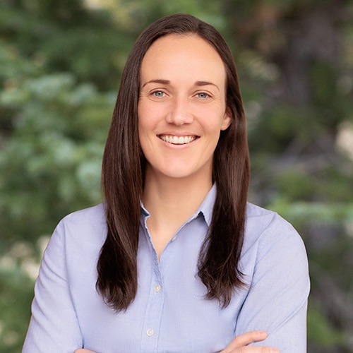
Dr. Kara Scheu is a physical limnologist and oceanographer specializing in physical mechanisms that drive sediment and contaminant transport. She has 12 years of experience with field measurements and instrumentation, data analysis, and hydrodynamic and sediment transport modeling. Dr. Scheu has coordinated, planned, and executed large in situ field deployments measuring hydrodynamic and sediment transport, processed and analyzed large data sets, and collaborated with international clients to successfully implement field studies. She has also set up, calibrated, and validated a variety of hydrodynamic and sediment transport models to assess sediment and contaminant transport due to physical processes. Dr. Scheu has experience working in an array of environments, including rivers, lakes, estuaries, and the coastal ocean, and she has supported litigation and multiple large-scale allocation processes at contaminated sediment sites.
Ph.D., Civil and Environmental Engineering, Stanford University, Stanford, California, 2016
M.S., Civil and Environmental Engineering, Stanford University, Stanford, California, 2011
B.S., Aerospace Engineering, University of Southern California, Los Angeles, California, 2010
First Aid and CPR certified (2011−present)
Hazardous Waste Operations and Emergency Response 40-Hour Certification (2016)
Hazardous Waste Operations 8 Hour Refresher Certification (2017–present)
Member of American Geophysical Union
Member of Association for the Sciences of Limnology and Oceanography
Member of The Oceanography Society
Kara R. Scheu, Ph.D. Consultant
Dr. Kara Scheu is a physical limnologist and oceanographer specializing in physical mechanisms that drive sediment and contaminant transport. She has 12 years of experience with field measurements and instrumentation, data analysis, and hydrodynamic and sediment transport modeling. Dr. Scheu has coordinated, planned, and executed large in situ field deployments measuring hydrodynamic and sediment transport, processed and analyzed large data sets, and collaborated with international clients to successfully implement field studies. She has also set up, calibrated, and validated a variety of hydrodynamic and sediment transport models to assess sediment and contaminant transport due ...
Dr. Kara Scheu is a physical limnologist and oceanographer specializing in physical mechanisms that drive sediment and contaminant transport. She has 12 years of experience with field measurements and instrumentation, data analysis, and hydrodynamic and sediment transport modeling. Dr. Scheu has coordinated, planned, and executed large in situ field deployments measuring hydrodynamic and sediment transport, processed and analyzed large data sets, and collaborated with international clients to successfully implement field studies. She has also set up, calibrated, and validated a variety of hydrodynamic and sediment transport models to assess sediment and contaminant transport due to physical processes. Dr. Scheu has experience working in an array of environments, including rivers, lakes, estuaries, and the coastal ocean, and she has supported litigation and multiple large-scale allocation processes at contaminated sediment sites.
Effects of Dam Removal Sediment Releases on Coastal Lagoon Dynamics and Ecosystems
Poster
January 09 2023- Coastal Science
- Sediment Fate and Transport Studies
- Environmental Modeling
- Environmental Monitoring
- Litigation Support

