Integral’s Resume Builder allows you to select the information you would like to appear on your custom-built resume. You can select or deselect any of the blue-checked boxes:

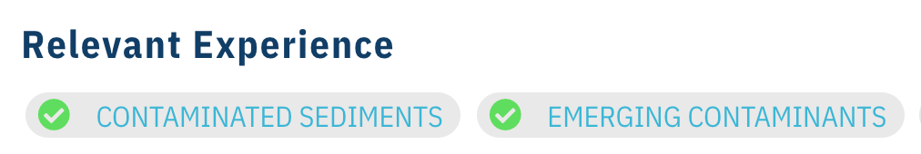
or green-checked circles:
To begin, all information is selected as default. To include all information on your resume, please skip to Step 3.
Step 1: Select the Relevant Experiences you would like included in your custom-built resume. By checking the green circle, you can indicate which category of all the employee’s work experiences you want to include. To exclude a category of work experiences not to your interest, uncheck the green circle. To include specific work experiences, regardless of category, check the blue box for your desired project.
Step 2: Select the Education & Credentials, Professional Affiliations, Publications, or any additional information you would like to include in your resume by checking the blue boxes next to the titles of those areas.
Step 3: Once you are finished building your custom resume, click the Download PDF button:
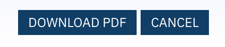
An Adobe PDF of your custom resume will be downloaded to your computer or you can choose to save the file to your preferred format.