Select Page
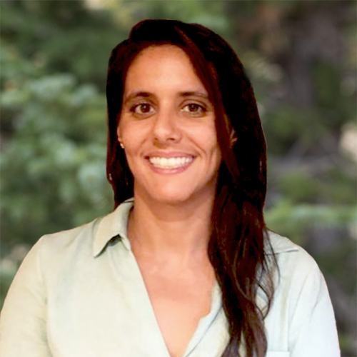
Ashley Ellenson, Ph.D.
Project Scientist

Ashley Ellenson, Ph.D.

Project Scientist

Dr. Ashley Ellenson is a project scientist in Integral’s Marine Science and Engineering group, contributing her expertise to coastal risk assessment and marine science technology development projects. Her role involves comprehensive data processing and analysis to support these initiatives. In the realm of coastal risk and resilience projects, Dr. Ellenson leverages her expert understanding of nearshore physical phenomena. This expertise enables her to assess coastal hazard levels for vulnerability assessments. As a data analyst, Dr. Ellenson tackles complex questions related to marine conditions. She excels in developing efficient workflows that integrate diverse data sources and empl...

Dr. Ashley Ellenson is a project scientist in Integral’s Marine Science and Engineering group, contributing her expertise to coastal risk assessment and marine science technology development projects. Her role involves comprehensive data processing and analysis to support these initiatives. In the realm of coastal risk and resilience projects, Dr. Ellenson leverages her expert understanding of nearshore physical phenomena. This expertise enables her to assess coastal hazard levels for vulnerability assessments. As a data analyst, Dr. Ellenson tackles complex questions related to marine conditions. She excels in developing efficient workflows that integrate diverse data sources and employ various processing techniques to extract valuable insights from intricate data sets. Dr. Ellenson is a graduate of Oregon State University’s Coastal and Ocean Engineering program, complemented by a minor in risk and uncertainty quantification. Her doctoral dissertation showcased her innovative application of machine learning techniques to marine science imagery and observations. She has published several journal articles and has served as a peer reviewer for articles that combine machine learning and coastal science content.

Read More    Read Less   

Coastal Geomorphology

Coastal Flooding and Hazard Risk Quantification, Ormond Beach, Oxnard, California Determined coastal flooding depths from various storm events coupled with sea level rise.  Implemented a dune erosion model to identify potential shoreline locations based on various sea level rise scenarios following federal guidelines.
Nearshore Evolution Research Using Computer Vision Techniques, Australia and North Carolina As a fellow for the U.S. Army Corps of Engineers, conducted research focused primarily on developing computer vision techniques to recognize nearshore geomorphology in time exposure imagery. Developed a convolutional neural network to recognize beach states at two different locations: Narrabeen, Sydney, Australia; and Duck, North Carolina. Also focused on capturing the alongshore variability of nearshore morphology by developing a labeling framework wherein the morphology was labeled as a multidimensional simplex. Using this observational framework, characterized 30 years of beach states at Duck, North Carolina, and correlated evolving nearshore morphology with environmental forcing factors.

Marine Science

Data Processing, United States Processed terabytes of raw data from federal agency wave model output to develop wave energy resource assessment parameters using several data science libraries including Dask and x-array. These parameters were then integrated into a data portal for use by wave energy developers.
Wave Forecasting Corrections Using Machine Learning, Northeast Pacific Ocean As a National Research Trainee for the National Science Foundation’s Risk and Hazard Training program, developed uncertainty metrics as a data product for wave forecasts using machine learning ensemble techniques. Collaborated with a social scientist to understand end-user (fishermen) perspectives of uncertainty, ensuring that the uncertainty metric aligned with end-user intuition. The uncertainty metric captured the accuracy of 24-hour forecast output of significant wave height and wave period. The ensemble method was a bagged regression tree and predicted wave model error at several buoy locations across the northeast Pacific Ocean.

Data Analysis

Data Processing, United States Processed terabytes of raw data from federal agency wave model output to develop wave energy resource assessment parameters using several data science libraries including Dask and x-array. These parameters were then integrated into a data portal for use by wave energy developers.
Wave Forecasting Corrections Using Machine Learning, Northeast Pacific Ocean As a National Research Trainee for the National Science Foundation’s Risk and Hazard Training program, developed uncertainty metrics as a data product for wave forecasts using machine learning ensemble techniques. Collaborated with a social scientist to understand end-user (fishermen) perspectives of uncertainty, ensuring that the uncertainty metric aligned with end-user intuition. The uncertainty metric captured the accuracy of 24-hour forecast output of significant wave height and wave period. The ensemble method was a bagged regression tree and predicted wave model error at several buoy locations across the northeast Pacific Ocean.
RETURN TO OUR TEAM PAGE