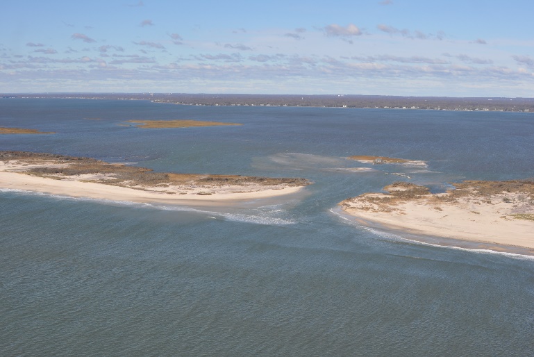
Post-Hurricane Coastal Recovery, Fire Island, NY
By Cheryl J. Hapke, Ph.D., Senior Consultant

OUR CHALLENGE
Hurricane Sandy made landfall along the New Jersey coastline on October 29, 2012. The storm surge caused extensive damage to the barrier island systems and especially on Fire Island, New York, which contains numerous coastal communities, a national seashore, and several county and state parks. We worked with the various stakeholders to understand the impacts of the storm and where and how quickly the system would rebound.
OUR APPROACH
We developed a comprehensive campaign of pre-and post-storm mapping to understand which areas were most heavily impacted, and designed an innovative monitoring program to reveal information about beach and dune recovery. Using a combination of field data analyses and modeling, our team identified which areas of the island were most resilient versus vulnerable.
OUR IMPACT
We provided analyses and interpretations of the field data and engaged stakeholders through serving on panels with federal, state, and local managers and planners. Our work allowed for the transfer of critical scientific knowledge for dealing with the aftermath of the disaster and developing plans for resilient restoration and management.
