Case Study
AI for Cost-Effective Environmental Monitoring and Benthic Site Assessments
By Craig A. Jones, Ph.D., Managing Principal, Business Director - Marine, Coastal, Climate, and Technology Services
OUR CHALLENGE
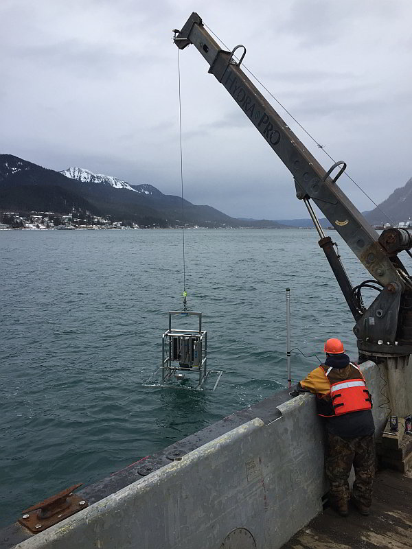
Seafloor habitat mapping tools have included high-resolution underwater camera systems, such as sediment profile imaging (SPI), since the 1970s. Traditional human-in-the-loop (i.e., manual) data extraction and processing techniques for seafloor imagery can be laborious and costly. Our challenge has been to combine tried-and-true benthic mapping survey tools, including multibeam echosounder acoustic and SPI, with state-of-the-art computer vision approaches for rapid data and seafloor habitat map generation.
OUR APPROACH
We are bringing streamlined and standardized seafloor habitat mapping analytics into the 21st century. We “train” computers to recognize and measure physical and biological features in seafloor images to map benthic habitats. Through our work, we now have curated image sets containing thousands of examples of organisms, including worms, shrimp, and urchins; sediment textures; and biogenic structures (e.g., feeding pockets and burrows).
OUR IMPACT
We have developed artificial intelligence tools for rapid, cost-effective seafloor characterization. With artificial intelligence, we have seized opportunities to automate environmental data collection from imagery. Our automated image processing allows scientists to extract large, accurate data sets from seafloor imagery in a fraction of the time it would take to do manual image analysis.
Published
May 17, 2019

Key Contact
Dr. Craig Jones serves as the managing principal for Integral’s Marine, Coastal, Climate, and Technology Services. With more than two... Full bio