
Presented by Kara Scheu, Ph.D. at ICCE 2026. Winner of First Place: Best Poster Award – Industry.
INTRODUCTION
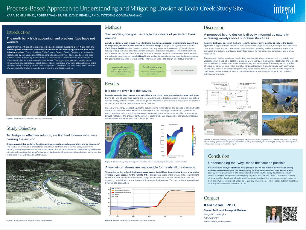
Along the north side of Ecola Creek in Cannon Beach, Oregon is an erosion hot spot influenced by seasonal riverine flows, tidal variability, and large offshore waves. Persistent ongoing erosion of 3 to 4 ft per year at the site poses a risk to homes, infrastructure, and recreational access. Numerous erosion mitigation efforts have been attempted at the site including sand placements, geo-textile wrapped sand with plantings, and a sheet pile wall (not permitted). Lessons learned from the inappropriate or inadequate erosion mitigation efforts highlight the need to better characterize the underlying causes of erosion at the site. A data-based multi-model approach was employed to develop a process-based understanding of mechanisms driving erosion at the project site to inform viable and effective erosion mitigation alternatives.
SITE BACKGROUND
The project area of this study focuses on the north side of Ecola Creek in Cannon Beach, Oregon, where ongoing erosion threatens public and private infrastructure as well as recreational and emergency beach access (Figure 1).

Ecola Creek is a tidally influenced creek important for coho salmon habitat while the north side of Ecola Creek serves as an important recreational spot, sheltered from wind and larger waves, with beach access off the end of Larch Road. There are also important utility and infrastructure near the eroding creek bank including Breakers Point condominiums, Larch Road, an emergency beach access route, City of Cannon Beach (City) sewer main and water supply pipelines, and gas lines. The project area falls under the Oregon State Planning Goal 18, which prohibits the use of a shoreline protective structure (DLCD 2021). The focus of this study was to characterize the processes driving ongoing erosion at the site and to develop a permittable nature based approach to mitigate erosion while retaining habitat and recreational use.
PROCESS-BASED APPROACH
This study evaluated the different mechanisms driving ongoing erosion at the site to develop suitable alternative design concepts. Ongoing erosion is due to the compound effects of waves, tides, and riverine flooding (Figure 2) as well as anthropogenic activity. In addition to the varied conditions and ongoing migration of the material along the shoreline, Ecola Creek is also highly variable with migrating channel depths and widths depending on wave and riverine conditions. Successful erosion mitigation strategies require characterizing the relative effect of these various processes to develop effective alternatives.

MODELING APPROACH
A large-scale model was using Delft Flow and SWAN. The large-scale hydrodynamic model was used to simulate both large riverine flood events (20- and 50-year return period) and wave events during various high water elevations. Larger river flood events can readily mobilize sand and potentially small cobble that may have eroded from the bank within the center channel. However, the project area is located along the floodplain where the creek widens and turns away from the site, resulting in reduced river velocities (<1 ft/s) at the project area. The river does not cause scour at the toe of the bank and is thus NOT likely the primary driver of erosion at the site.
High total water levels, particularly during wintertime storm events, can allow waves to propagate into the estuary and toward the project area (including wave reflection off the seawall to the south). Across the range of water levels and wave conditions considered, the model-predicted wave heights at the project area ranged from 0.5 to 3 ft, verified with video recordings of king tide wave events at the site. As part of the wave modeling sensitivity analysis, the channel width and depth of Ecola Creek was identified as a key feature that modified wave conditions at the project area. During periods when the channel prism is larger, greater wave energy can propagate toward the site, resulting in larger erosion events, compared to periods with smaller channel configurations (Figure 3).

Once the large-scale model identified the dominate forcing driving erosion, a small-scale erosion model, XBeach, appropriate for examining storm event conditions and their geomorphic response, evaluated the erosion impact of wave events. The erosion modeling analysis used cross-shore elevation profiles to simulate wave swash processes including wave run-up, wave forcing, and wave scour. Erosion of the bank toe during small to moderate wave events at high water level results in destabilization of the bank and subsequent slumping (Figure 4). This ongoing bank erosion and failure was corroborated with observations at the site. The 3 to 4 ft/yr of erosion occurs during a handful of storm events during winter king tides.

The multi-model and processes-based approach to characterizing erosion at the project area allowed for a detailed evaluation of erosion and characterization of the underlying mechanisms causing bank erosion. A successful erosion mitigation strategy requires reducing these wave induced erosion processes at the bank toe to mitigate bank slumping and failure.
NATURE BASED DESIGN
Due to Oregon regulations, any potential alternative must be permittable and comply with Goal 18, which prohibits any structural beachfront protection (e.g., riprap or other hardened structure) and must have minimal impact on the beach and estuary (DLCD 2021). The proposed alternative must also maintain beach access from Larch Road for recreation users and emergency personnel.
A range of alternatives were considered to address episodic erosion events on the north side of Ecola Creek while retaining recreation and habitat. Based on results of the modeling analysis, the proposed design includes cross-bracing large woody material to breakup wave energy. By placing the wood within a pocket of cobble and intertwining the logs both horizontally and vertically, this design addresses the primary cause of erosion. To ensure the woody material is not mobilized readily, the log ends or root wads can be buried deeply in cobble to ensure the material is not undermined and washed away and will be cross-braced with pin logs. The buried woody material can provide bank toe reinforcement within a smaller horizontal footprint compared to other permittable alternatives (e.g., dynamic revetments), which is required for this site to retain recreational beach access and habitat. Sand and native vegetation on top of the large wood and cobble can further limit slumping and erosion as well as provide better access while discouraging foot traffic to minimize anthropogenic erosion.
SUMMARY
To address the existing erosion hazards on the north side of Ecola Creek, process-based erosion analysis and stakeholder input was used to inform nature-based erosion mitigation alternatives. Numerous prior erosion mitigation efforts at the site failed, largely due to poor characterization of the underlying erosion processes. This study developed a robust understanding of site dynamics and erosion processes by leveraging available data and multiple modeling tools to identify the key physical drivers of erosion – wave erosion during extreme high tide and storm related water levels The insight gained from this analysis supported an innovative nature based design concept. The proposed erosion mitigation is anticipated to be permitted in 2026.
REFERENCES
Allan, Gabel, and O’Brien (2018) Beach and Shoreline Dynamics in the Cannon Beach Littoral Cell: Implications for Dune Management. Special Paper 49. State of Oregon, Oregon Department of Geology and Mineral Industries.
Oregon Department of Land Conservation and Development [DLCD] (2021) Guidebook on Erosion Control Practices of the Oregon Coast. Prepared by Hailey Bond. Oregon Department of Land Conservation and Development.