Case Study
AI and Computer Vision for Environmental Monitoring: Washington
By Eugene C. Revelas, Senior Science Advisor
OUR CHALLENGE
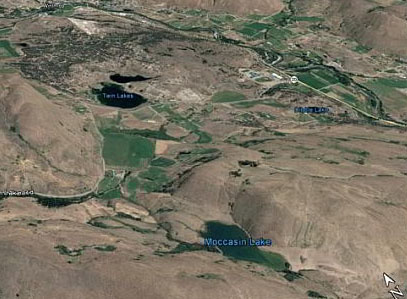
Invasive plants are a threat to the productivity of native forage lands and are indicators of decreasing soil health or disturbance. In the dry rangelands of the Western U.S., invasive plants such as knapweed and whitetop often appear in areas of chronic overgrazing, indicating higher wind- and water-driven erosion potential. We needed a means to survey large areas and identify invasive weeds accurately and quickly.
OUR APPROACH
Integral partnered with the Methow Conservancy to develop an automated computer vision system to identify invasive weeds from aerial imagery collected using drones. In May 2018, using a DJI Phantom 3 quadcopter with both RGB and near-infrared cameras, we surveyed more than 400 acres for whitetop across a large conservation easement in eastern Washington.
OUR IMPACT
Our new IMaging and Predictive AnalytiCs Technology (IMPACT) tools use artificial intelligence and deep learning for cost-effective environmental monitoring. IMPACT integrates cutting-edge analytics with state-of-the-art data management and technical communications. With this project, we are using the power of artificial intelligence to rapidly identify invasive weeds from drone imagery. Check out the results here.
Published
May 23, 2019

Key Contact
Mr. Gene Revelas, senior science advisor at Integral, is a leading sediment scientist with more than 35 years of experience... Full bio